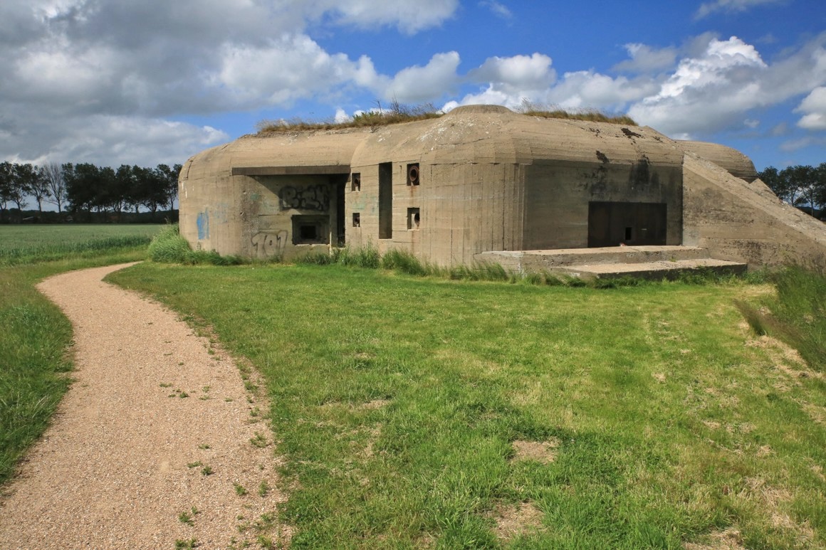
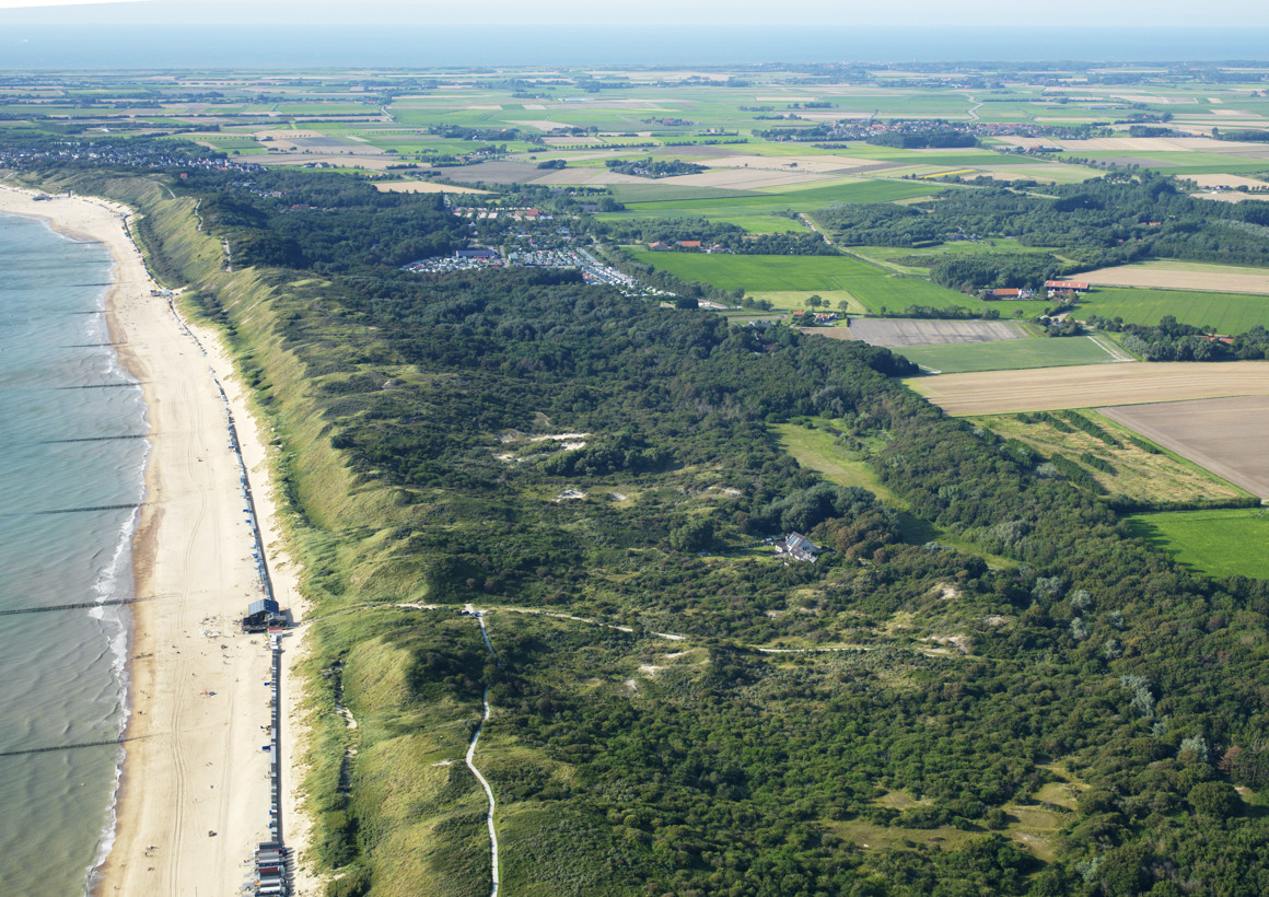
This varied bunker route takes you past silent witnesses to the Second World War. From 1942 onwards, the German occupying forces heavily fortified the coast of Walcheren, creating a line of bunkers, anti-tank ditches, and sturdy barriers.
Near Koudekerke, you can still clearly see the remains of this so-called 'land front'. In total, around 80 bunkers have survived on Walcheren. Curious about what lies behind those thick concrete walls? Then stop off at the Bunker Museum in Zoutelande.
The local population paid a heavy price for the liberation of Walcheren. Allied aircraft deliberately bombed the dikes to drive out the occupying forces. This tragedy left a deep mark on Westkapelle; the Polderhuis Dike and War Museum provides a clear account of the story behind the bombing.
The route can be shortened to approximately 30 km or 40 km.
The Atlantic Wall and the bunkers During the Second World War, the German occupying forces began constructing the Atlantic Wall in 1942. The Atlantic Wall is a defensive line stretching no less than 5,000 kilometres from the North Cape in Norway to Biarritz in France. Walcheren and Breskens were heavily defended to block access to the world port of Antwerp. In addition to the defences in the dunes, a second defensive belt was constructed inland on Walcheren: the Land Front. This line ran from the Westerschelde dyke at Fort Rammekens via Nieuw-Abeele, Groot-Abeele and Koudekerke to the dunes at Groot-Valkenisse.
The liberation of Walcheren in 1944 came at a heavy price. The dykes were bombed to flood the land. This was followed by a week of fierce fighting between the Allies and the Germans. After the liberation, many bunkers were demolished to allow reconstruction to proceed. Around 80 bunkers have survived on Walcheren. The greatest concentrations are found near Dishoek and around Koudekerke.
Polderhuis Westkapelle The dyke and war museum in Westkapelle documents, among other things, the bombing of the dykes and the liberation of Walcheren. The museum is located in the Polderhuis, a striking building on the Westkapelle sea dyke.
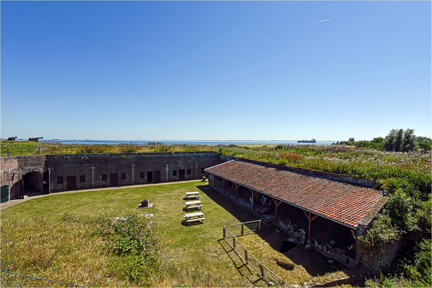
Fort Rammekens Fort Rammekens near Ritthem is the oldest surviving water fort in the Netherlands. The fort was built in the sixteenth century to protect the mouth of the Western Scheldt. During the Second World War, the Germans used the fort as an observation post and stronghold. It is now a national monument open to visitors.
Land Front Vlissingen The Land Front Vlissingen was the German defensive line that ran through the interior of Walcheren. At Stützpunkt Kolberg near Koudekerke, the remains of bunkers, firing positions and anti-tank ditches are still clearly visible. The Drakentanden (dragon's teeth) near Groot-Valkenisse — rows of concrete anti-tank pyramids — are a striking reminder of these wartime fortifications.


 , 4331 NJ Middelburg